News
STories at Sea
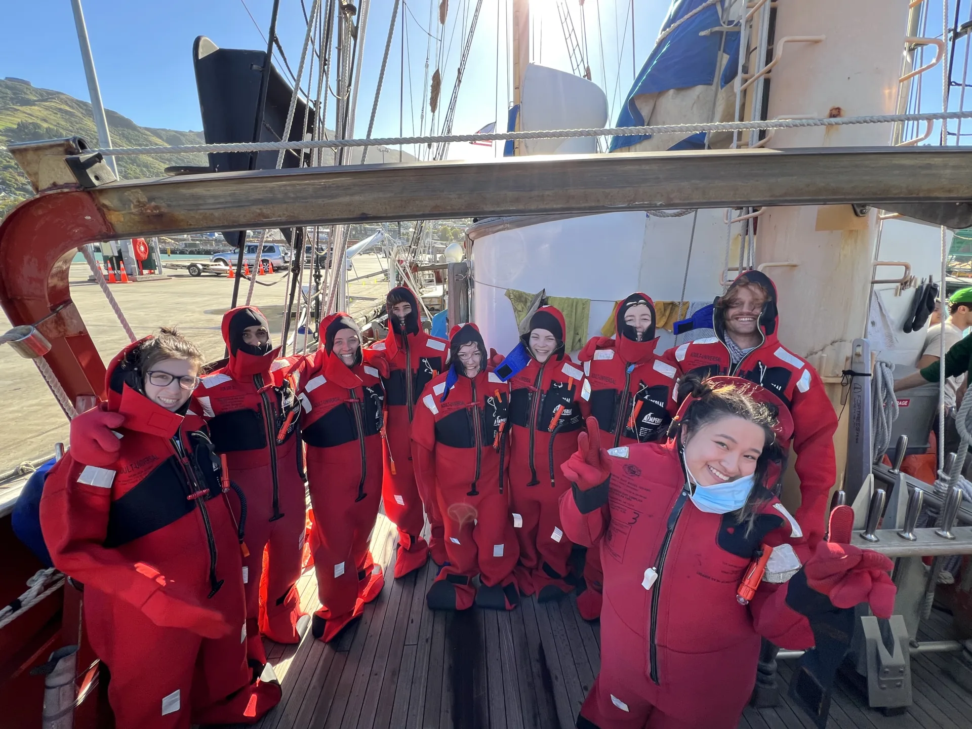
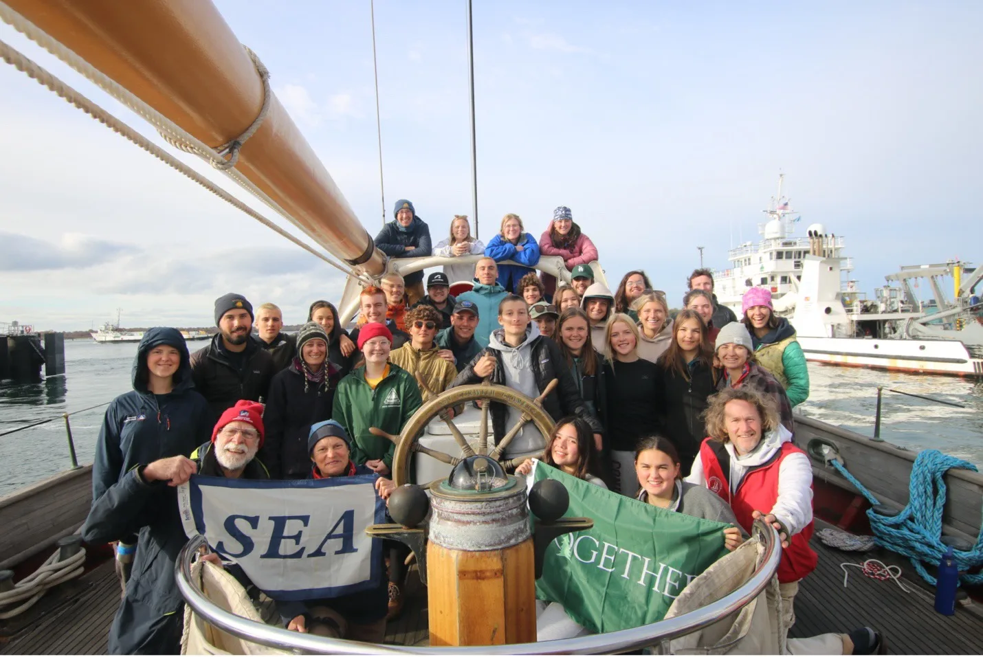
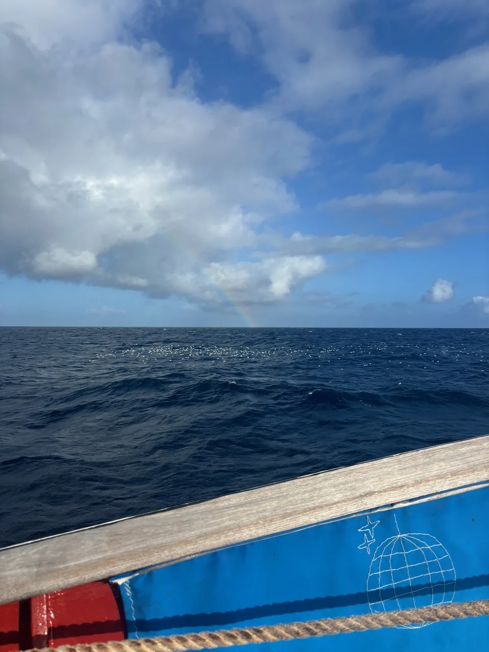
All Hands on Board in Aotearoa!
April 04, 2025
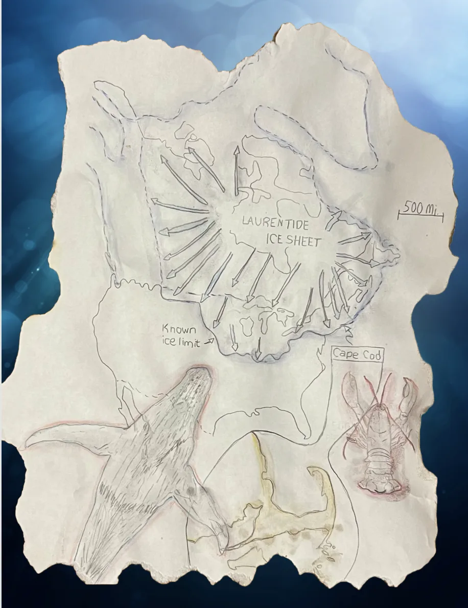
Thoreau and Glaciers and Rocks, oh my!
March 19, 2025
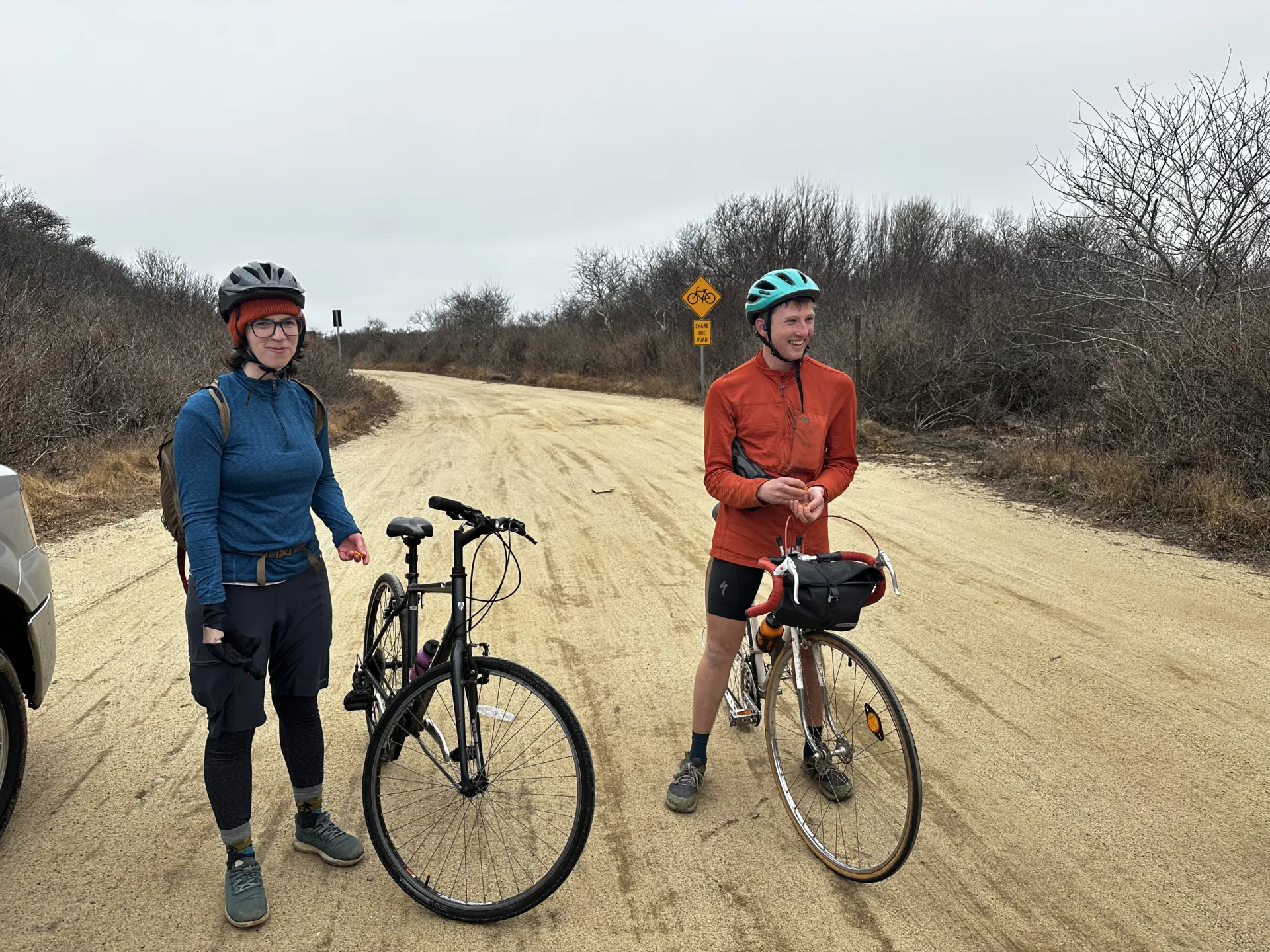
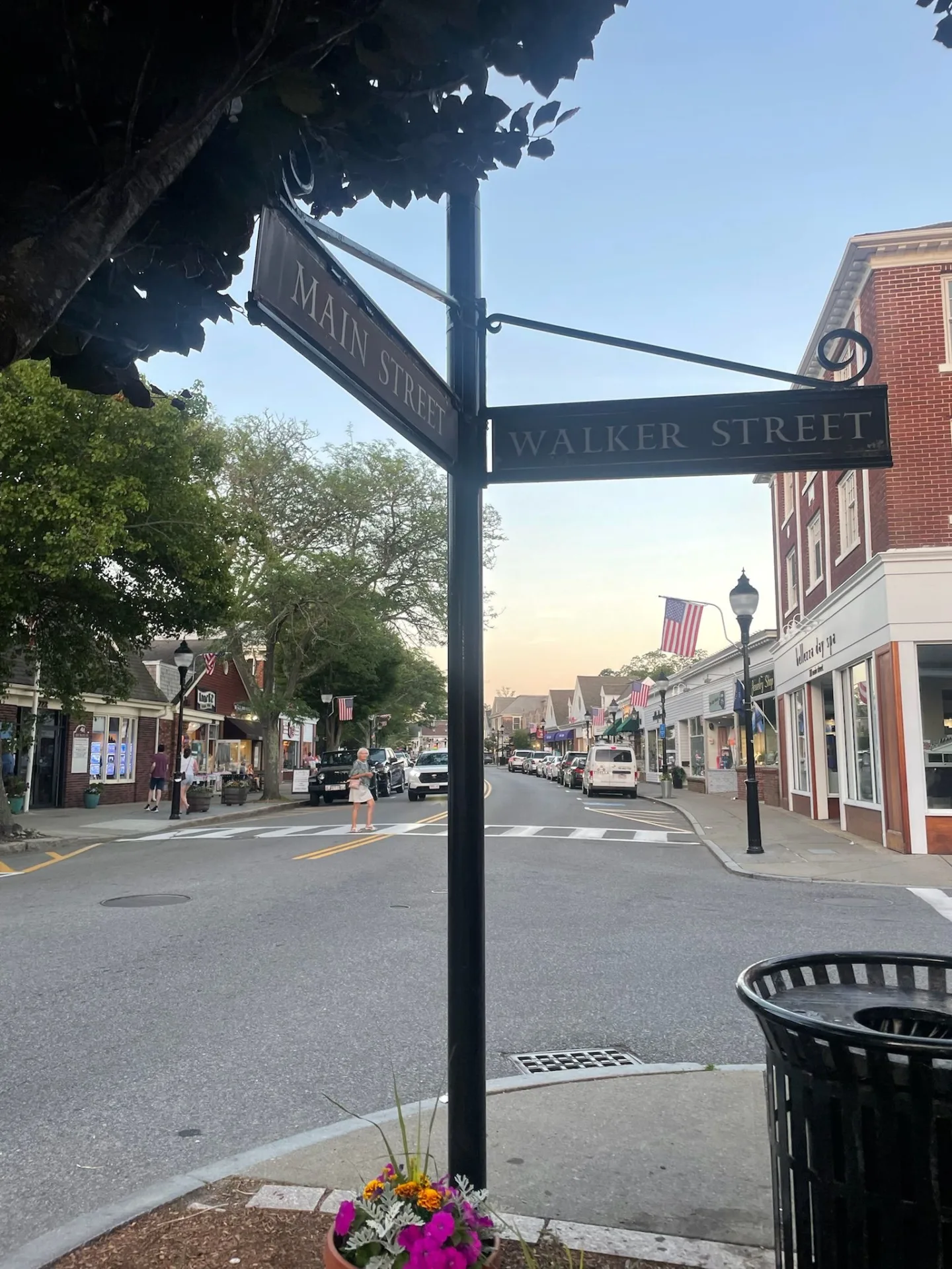
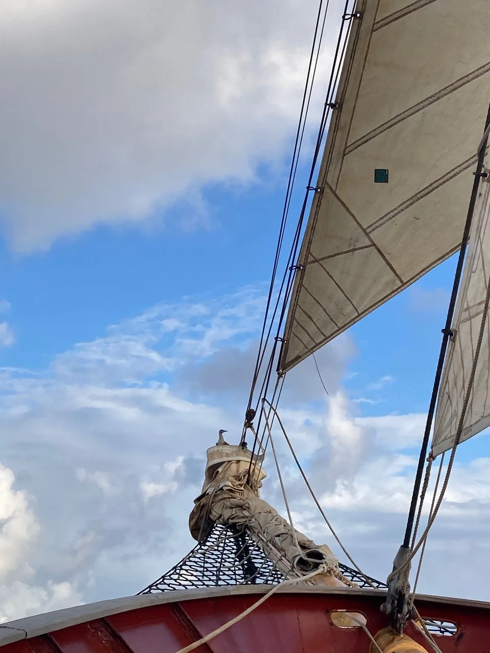
SEA Students Loose in Provincetown
March 18, 2025

The Dock lines are Stowed!
February 20, 2025
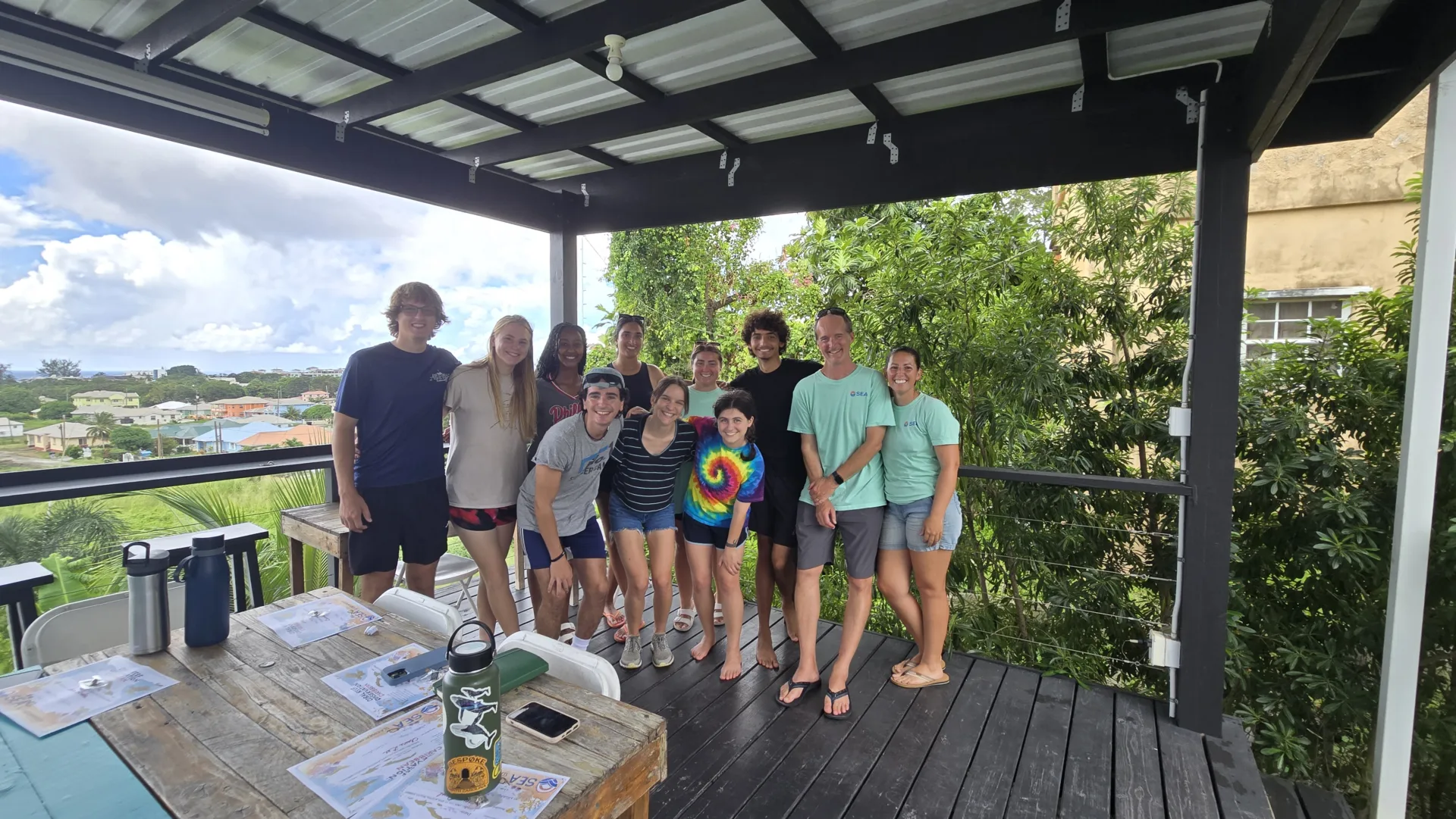
From Plate Tectonics to Poke Bowls
July 02, 2025

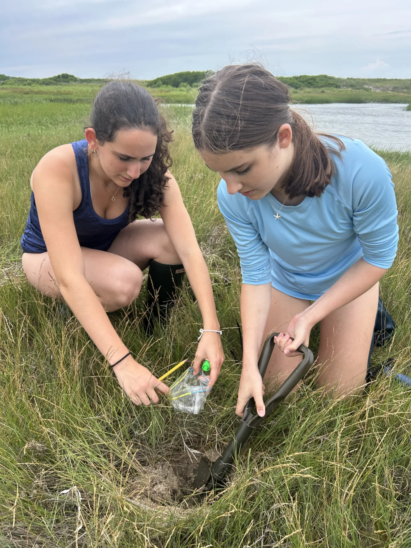
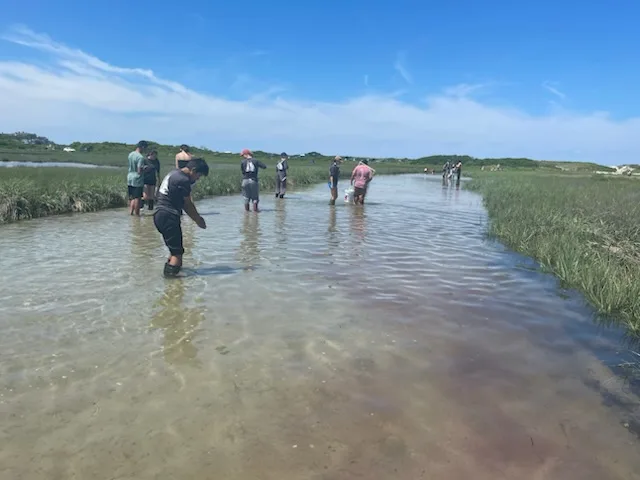
Harnesses and Horseshoe Crabs Oh My!
July 01, 2025

Welcome Aboard!
June 30, 2025
New Hair, Who Dis?
June 30, 2025
Pancakes, Beaches, and Bake-Offs
June 30, 2025
From Woodwell to Racing Beach
June 30, 2025
From Toast to Tides
June 30, 2025

Launching Our Research Journey
June 29, 2025
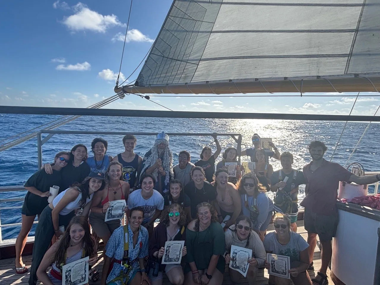
Crossing Zero
June 29, 2025
Learning To Live The Slow Life At Sea
June 28, 2025

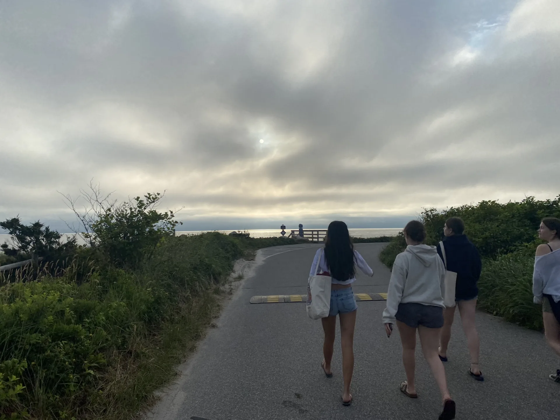
A Day on Martha’s Vineyard
June 28, 2025

Falmouth Finds and Friendly Competition
June 28, 2025
Program Blogs
- Gap Year
- Ocean Exploration
- High School
- Science at SEA
- SEA Expedition
- SEAScape
- Pre-College
- Proctor Ocean Classroom
- Protecting the Phoenix Islands
- SPICE
- Stanford@SEA
- Undergraduate
- Climate and Society
- Climate Change and Coastal Resilience
- Coral Reef Conservation
- Marine Biodiversity and Conservation
- MBL
- Ocean Exploration: Plastics
- Ocean Policy: Marine Protected Areas
- Oceans and Climate
- Pacific Reef Expedition
- The Global Ocean: Hawai'i
- The Global Ocean: New Zealand