Programs Blog
Soup & Charts
March 13th, 2025
Location: SEA Campus, Woods Hole, MA, USA
Weather: Sunny, 40° F, wind 10 kts E
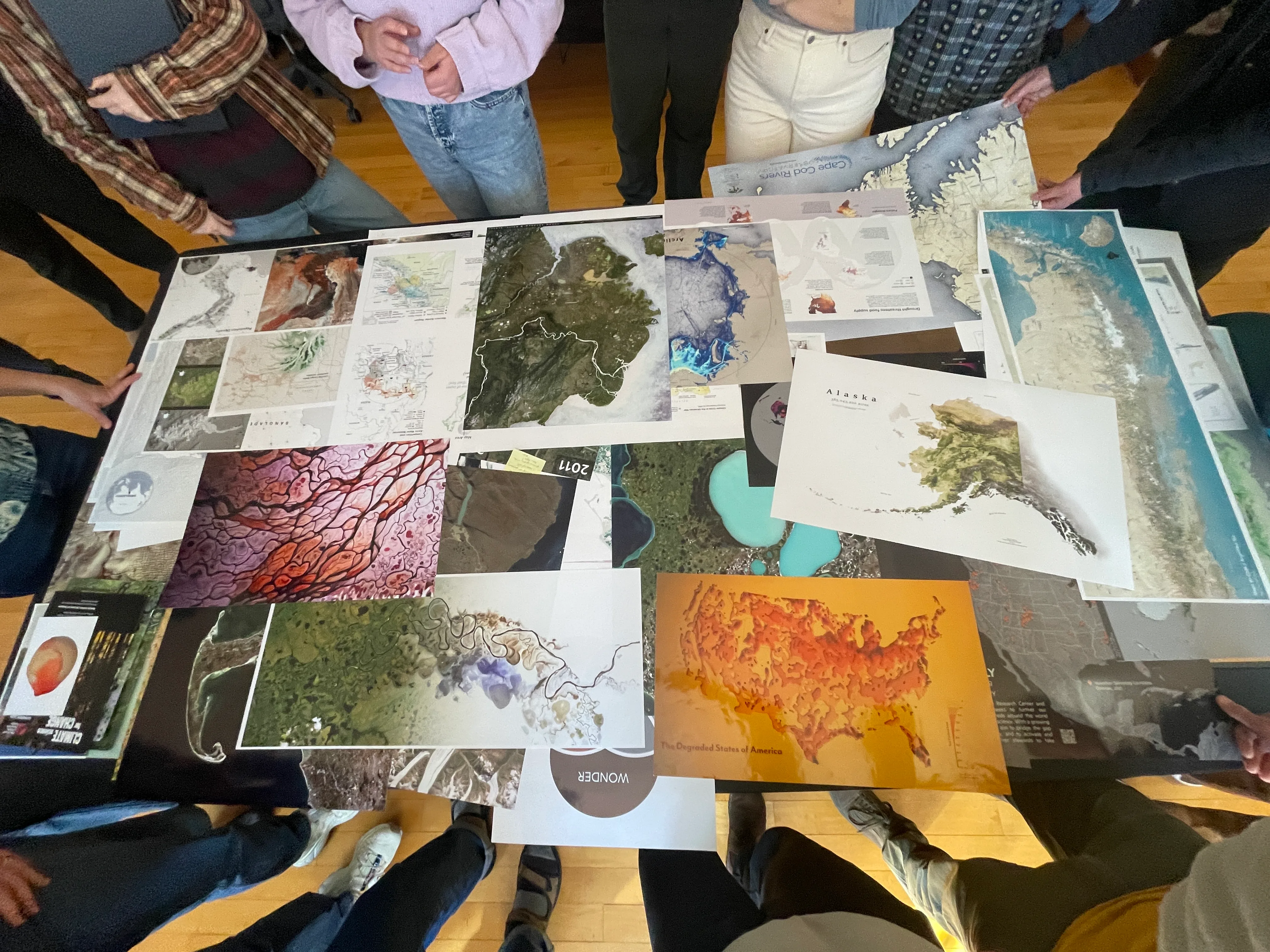
Heyo! My name is Jaimie, and I’m in my last year at Washington University in St. Louis studying mechanical engineering and biology. Here at SEA, things are beginning to settle down again after an extremely busy start to the week. The last couple days have been jam-packed with the first deadlines for most of our major projects. We’ve made it over the hump and now we have a good idea of what we’ll be working on for the rest of the semester.
Yesterday was “Soup Wednesday,” and Gabi, Aimee, and Zach made so much delicious tortilla soup for all the students and some guests. Even with 20+ people, we still had a gigantic pot of soup left. My house is really looking forward to finishing up the leftovers over the next few days.
“It was a labor of love.” – Chef Aimee
“Heroic endeavor, harrowing on all accounts.” – Chef Zach
“The freaking soup was attacking us.” – Chef Aimee
“Did you mention the absurd quantity of soup?” – Chef Gabi
Yes Gabi. Follow the blog for an update on how many meals the soup lasts. Three meals so far and still going strong.
After a delicious meal, we had a “Life at Sea” meeting where Rick (our Captain), gave us an overview of what our lives will look like for the 6 weeks we will be sailing. We will be split up into 3 watches (A, B, and C) with 5-6 people each. The watches will rotate through 6 hour shifts so that we can navigate and do science around the clock. The only time we will all be awake and together is for a daily meeting in the afternoon. After learning more about ship life, I’m definitely even more excited to get sailing.
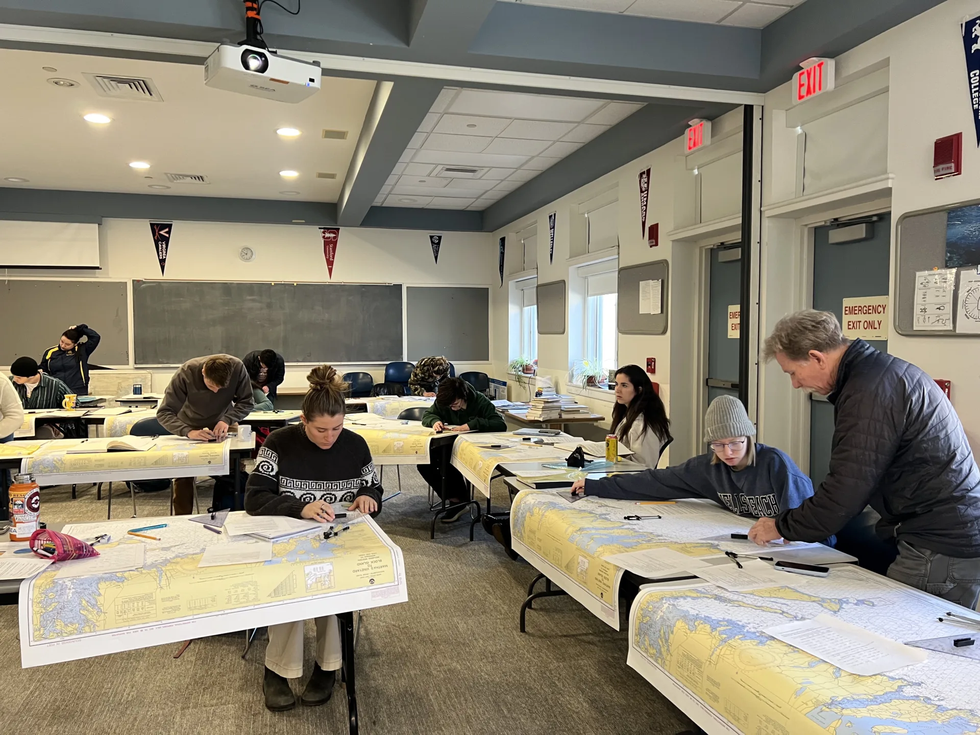
This morning, we had our first Nautical Science quiz, which was on piloting. I know some people were up late studying, so it was definitely a relief to have it over for most people. We’ve learned a lot of traditional navigation theory and different ways to “fix our position”, i.e., identify the ship’s position on a nautical chart. The main tools we use are triangles and dividers to measure and mark angles and distances on the paper chart. A divider is a tool used to measure distances that looks like a metal drafting compass but with two pointed legs instead of a pencil. I’ve had a ton of fun learning how to navigate and can’t wait to apply my new knowledge at sea.
Recent Posts from the Ships
- Ocean Classroom 2024-A collaborative high school program with Proctor Academy
- Collaborations and Long-term Commitments: SEA’s Caribbean Reef Program Sets a Course for Coastal Programs that Compliment Shipboard Experiences.
- Sea Education Association students prepare for life underway using state of the art nautical simulation from Wartsila Corporation.
- SEA Writer 2022, Magazines From the Summer SEA Quest Students
- Technology@SEA: Upgrades Allow Insight into Ocean Depths
Programs
- Gap Year
- Ocean Exploration
- High School
- Science at SEA
- SEA Expedition
- SEAScape
- Pre-College
- Proctor Ocean Classroom
- Protecting the Phoenix Islands
- SPICE
- Stanford@SEA
- Undergraduate
- Climate and Society
- Climate Change and Coastal Resilience
- Coral Reef Conservation
- Marine Biodiversity and Conservation
- MBL
- Ocean Exploration: Plastics
- Ocean Policy: Marine Protected Areas
- Oceans and Climate
- Pacific Reef Expedition
- The Global Ocean: Hawai'i
- The Global Ocean: New Zealand