Programs Blog
True Vegans Make Dull Cooks

Ella Simon, Bennington CollegeDid you know?: True Vegans Make Dull Cooks, so Add Wasabi.
Until last week, I had no idea vegan cooking had so much to do with navigation. When we started diving into practical navigational skills in preparation for our trip, this phrase began to show its significance in our lives here at SEA. The phrase is an essential tip for learning how to navigate between true north, and magnetic north on the compass rose (pictured here). “TVMDCAW” allows us to be more accurate in finding our positioning out in the ocean. Although this might not mean anything to you yet, this acronym stands for:
True – meaning true north in degrees
Variation – degrees difference of your location relative to true north
Magnetic – magnetic north in degrees
Deviation – how wrong your compass is
Compass – what your compass is reading
Add West – when the variation and deviation are to the W, you add (degrees) when calculating from true to compass; when the figures are E you subtract (degrees)० when calculating in this direction
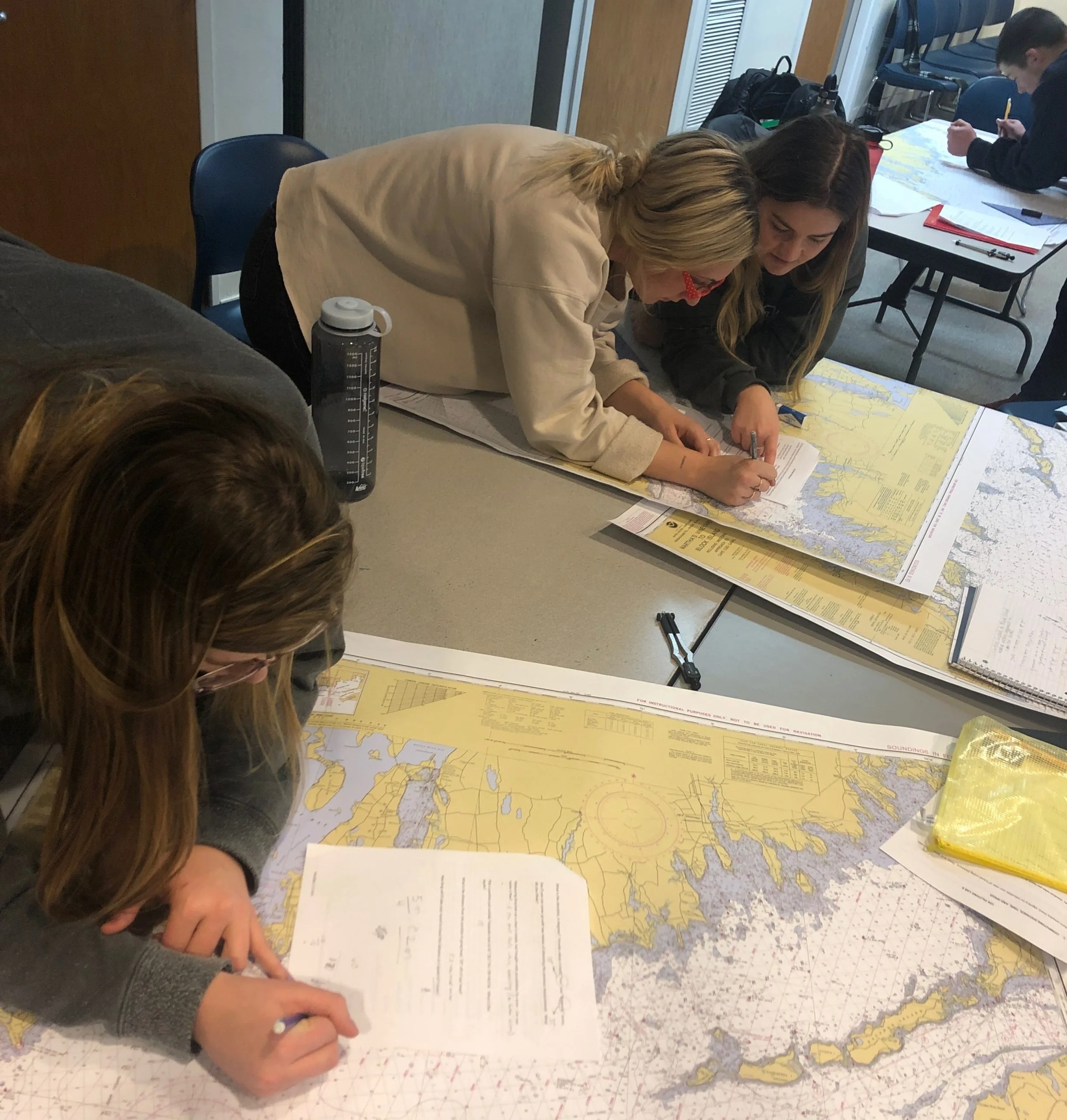
From what we have learned about the trip, every watch cycle will involve plotting our course with the paper chart. Captain Rappaport has been introducing us to navigating with a paper chart, protractor triangles, and compasses (both the compass at the helm of a ship and the compass rose printed on the chart, but, confusingly, a compass is also a tool to measure distance with and draw an arc!). So far we have been working with a chart of Martha’s Vineyard to Block Island, working through different kinds of plotting problems. It’s really exciting getting to learn how to navigate with these hand tools because we are learning a practical skill that will be consistently applied when we get out to sea.
Although we have been working in groups for projects in other classes, learning something new that we need as an essential for our sailing toolkit has created a lot of camaraderie. Helping each other along to understand the material. When I didn’t understand how to use the protractor triangles, I watched one of my fellow shipmates, Annabelle shift the tool with ease, explaining how to line it up with the meridians on the chart. Another shipmate, Ava-Rose, and I worked on a set of piloting problems, figuring out how to find a specific location, or fix, on the chart using two landmarks as a navigational tool. We were able to share the parts of plotting that we understood, while helping one another to re-solidify what we know. As we learn these new skills we can share them to better the success and safety of our boat. Our navigation class makes me excited to apply what we have learned to the real seas of New Zealand in just a few short weeks!
– Ella Simon, Bennington College
Recent Posts from the Ships
- Ocean Classroom 2024-A collaborative high school program with Proctor Academy
- Collaborations and Long-term Commitments: SEA’s Caribbean Reef Program Sets a Course for Coastal Programs that Compliment Shipboard Experiences.
- Sea Education Association students prepare for life underway using state of the art nautical simulation from Wartsila Corporation.
- SEA Writer 2022, Magazines From the Summer SEA Quest Students
- Technology@SEA: Upgrades Allow Insight into Ocean Depths
Programs
- Gap Year
- Ocean Exploration
- High School
- Science at SEA
- SEA Expedition
- SEAScape
- Pre-College
- Proctor Ocean Classroom
- Protecting the Phoenix Islands
- SPICE
- Stanford@SEA
- Undergraduate
- Climate and Society
- Climate Change and Coastal Resilience
- Coral Reef Conservation
- Marine Biodiversity and Conservation
- MBL
- Ocean Exploration: Plastics
- Ocean Policy: Marine Protected Areas
- Oceans and Climate
- Pacific Reef Expedition
- The Global Ocean: Hawai'i
- The Global Ocean: New Zealand